The Region
The municipality of Arganil enjoys a privileged location in the Central Zone, strategically positioned between the Central Coast and Spain (Europe), and in proximity to various cities offering a range of infrastructure and services that ensure a high quality of life. With good road access, the municipality's seat is 60 km east of Coimbra and 240 km north of Lisbon, accessible via the IC6, IP3, or the N17 (the old Estrada da Beira) and the N342 towards Góis, where it intersects with the N2.
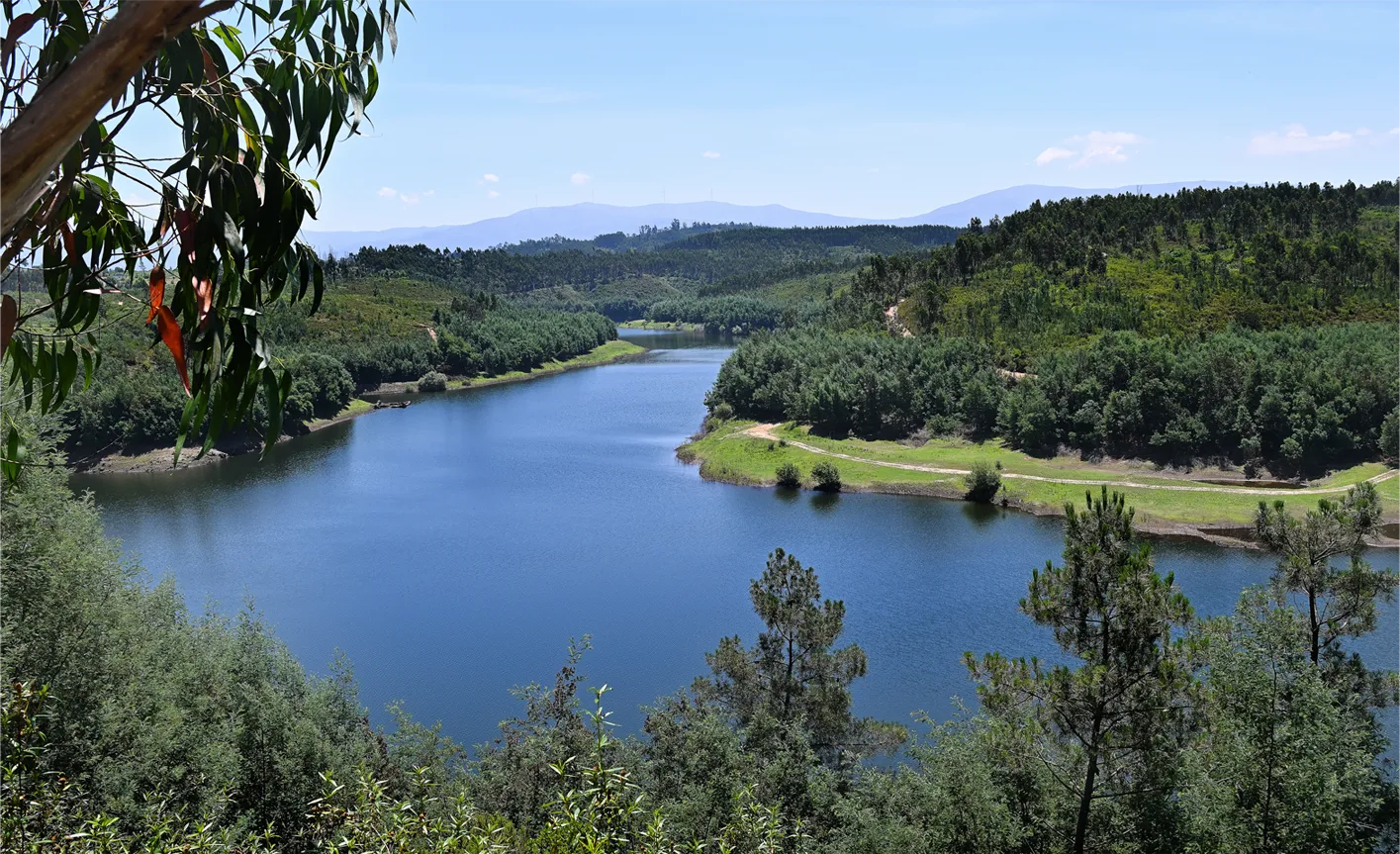
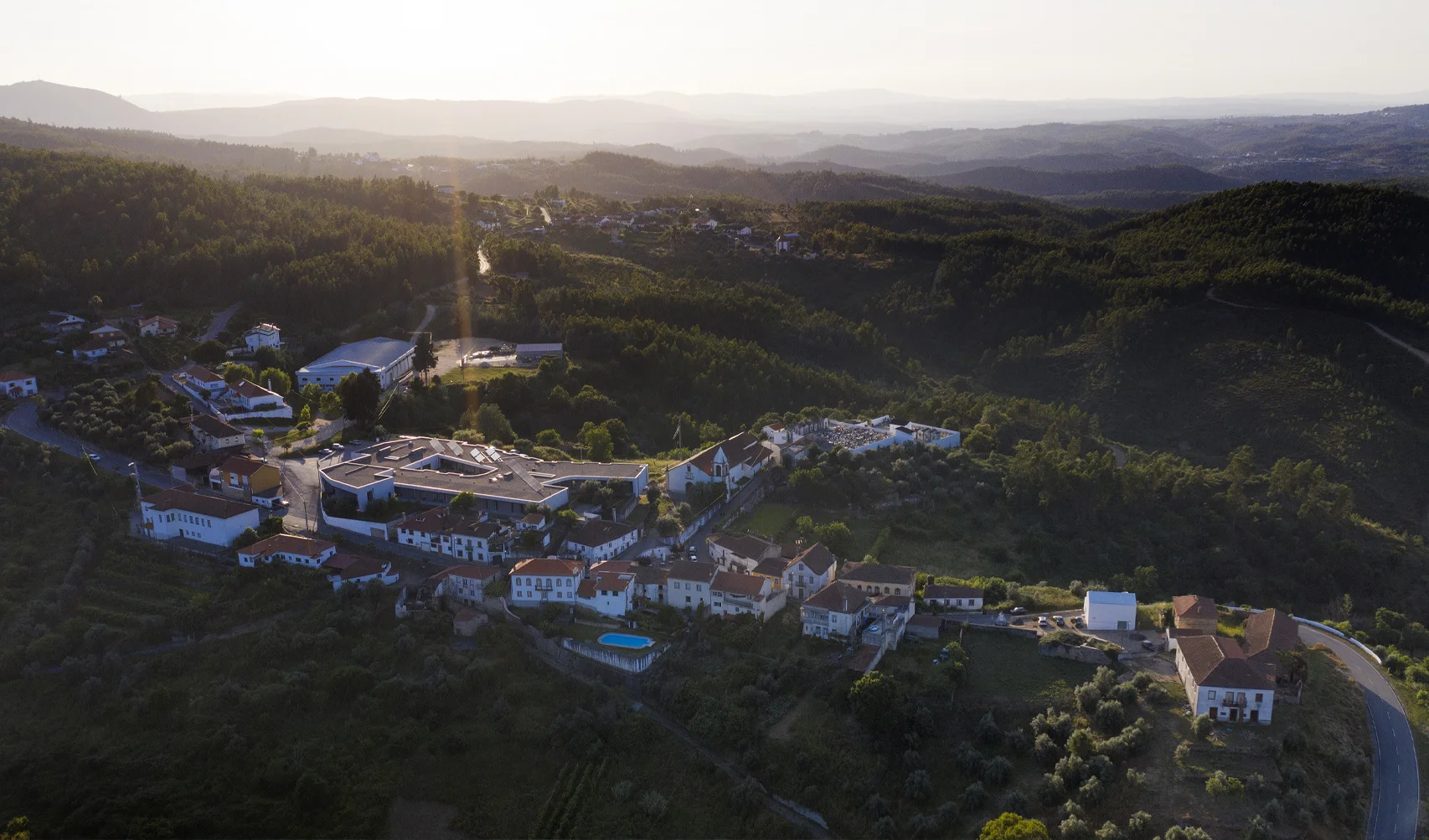
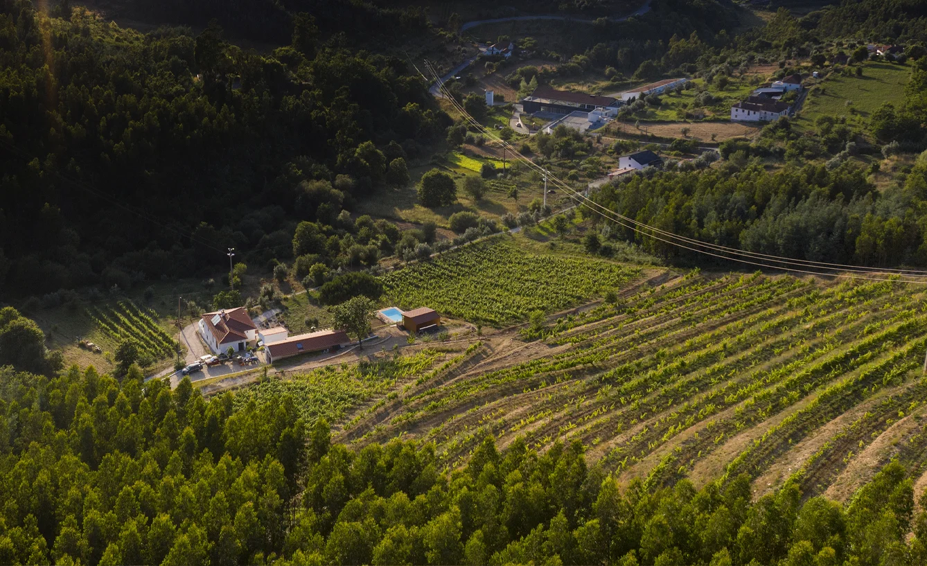
Arganil is set in a vast region of impressive landscapes stretching as far as the eye can see, dotted with authentic flavors that have been passed down through generations. The genuineness of the people, deeply rooted in their traditions and customs, is evident in the tranquility and silence felt in the villages, leisure areas, and river beaches along the Alva and Ceira Rivers and the Serra do Açor, part of the mountain range leading to the highest point in mainland Portugal, the Serra da Estrela. In addition to its rich natural heritage, the existing built heritage attests to the presence of various peoples over the centuries who have left their mark, such as the Lomba do Canho Archaeological Station, the 13th-century Chapel of St. Peter, and the old Arganilense Ceramics, now converted into a multi-purpose space near the town of Arganil.
The Historic Village of Piódão, the Schist Villages of Benfeita and Vila Cova do Alva also invite exploration of the territory, where the Fraga da Pena, the Mata da Margaraça (Protected Landscape of Serra do Açor), and the town of Côja, the Princess of Alva, as well as the lands of the Lordship of Pombeiro, now the parishes of Pombeiro da Beira and S. Martinho da Cortiça, deserve a special visit. Alongside all this natural beauty that delights visitors, the region boasts excellent gastronomy, including some of the best mountain goat, goat chanfana, cracklings, and Bucho from Vila Cova de Alva or Folques, making it an attractive destination.


